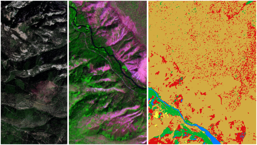
Current Status Not Enrolled Price $39.00 Get Started Take this Course About “Remote Sensing with QGIS” “Remote Sensing with QGIS” is designed to teach students how to apply a variety of remote sensing analyses and procedures with QGIS. Starting with satellite images from the Sentinel2 and Landsat9 sensors, students will learn to display spectral bands … Continue reading Remote Sensing with QGIS
